
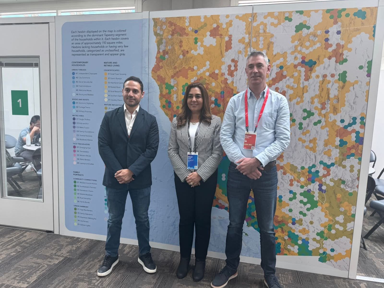
On the sidelines of the 2025 Esri International User Conference, held in San Diego, California, Egypt’s Minister of Local Development, Dr. Manal Awad, met with Mr. Richard Budden, Director of Local Government and Smart Cities at Esri, to discuss deepening cooperation in the field of digital transformation and the use of geographic information systems (GIS) in urban management across Egyptian cities.
The meeting was attended by senior officials from the Ministry of Local Development, including Dr. Hisham El-Helbawy, Assistant Minister for National Projects, and Ambassador Hossam El-Qaweesh, Assistant Minister for International Cooperation, alongside key representatives from Esri.

A Data-Driven Future for Local Governance
During the meeting, Dr. Awad emphasized that cities are the primary drivers of sustainable development, and that empowering local administrations with accurate, spatially informed data is the cornerstone of achieving spatial justice and enhancing quality of life for citizens.
She highlighted the success of Egypt’s “Atlas of Egyptian Cities” as a powerful demonstration of how GIS tools can transform local governance—enabling municipalities to better understand developmental realities, respond more effectively to demographic and climate shifts, and efficiently prioritize investments and public services.
“We believe spatial data is not just a technical tool—it’s a foundation for fairness,” Dr. Awad stated. “Especially in small and medium-sized cities, geospatial systems can guide smart interventions and equitable resource distribution.”
Expanding Digital Urban Tools
The Minister noted that the Ministry is currently working to enhance the technical capacities of governorates to use GIS in identifying development gaps, optimizing public spending, and evaluating service delivery outcomes. She also advocated for the creation of interactive digital platforms at the city level, which could support data exchange, urban planning, crisis coordination, and adaptive urban expansion.
In response, Mr. Budden commended the Ministry’s leadership in digital local governance and lauded the Atlas of Egyptian Cities as a model now being referenced by other governments globally. He reaffirmed Esri’s commitment to supporting local governments—particularly in developing countries—in building data-driven, citizen-centered cities.
He also welcomed proposals for customized software solutions and capacity-building programs aimed at training a new generation of Egyptian planners and local officials in applying GIS to daily decision-making.
Toward Integrated and Resilient Cities
Dr. Awad emphasized the strategic importance of integrating spatial planning tools with resource allocation mechanisms, ensuring local development priorities are reflected in national budgeting processes with greater efficiency and responsiveness. She invited Esri to contribute to the development of flexible, interoperable tools to support this integration.
Looking ahead, Dr. Awad expressed her ministry’s readiness to outline a joint roadmap for cooperation in spatial planning, urban expansion monitoring, and data-driven local development—advancing Egypt’s ambition to build resilient, inclusive smart cities that align with global governance and sustainable development frameworks.
The meeting concluded with both sides agreeing to expand technical cooperation through a shared action plan, focusing on:
- Developing advanced urban GIS platforms
- Enhancing real-time urban monitoring applications
- Building institutional and human capacity across governorates
This partnership comes as part of Egypt’s broader commitment to localizing sustainable development and leveraging digital innovation to empower its cities and citizens alike.